 It's been many years, late 1970s, since
we travelled to Utah and Nevada and at that time we only took 1296
MHz.
It's been many years, late 1970s, since
we travelled to Utah and Nevada and at that time we only took 1296
MHz.
It's been many years, late 1970s, since
we travelled to Utah and Nevada and at that time we only took 1296
MHz.
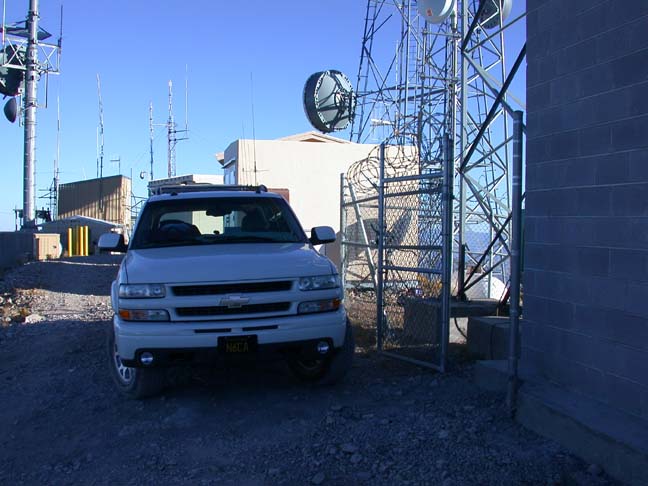
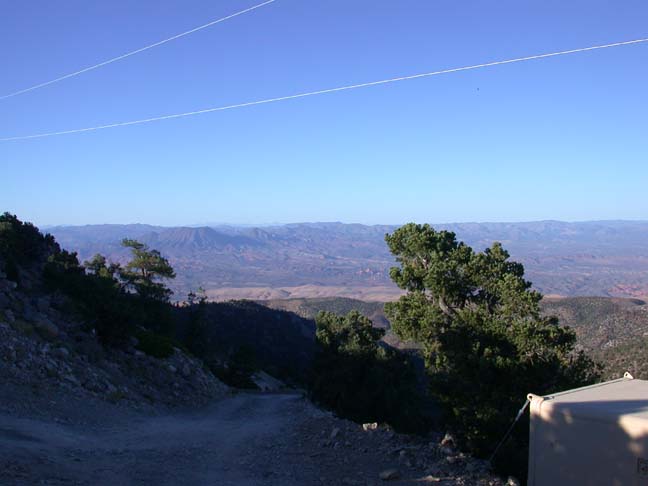
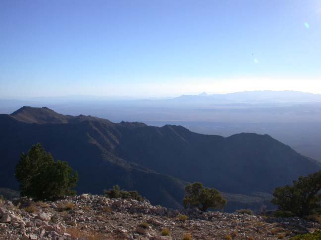
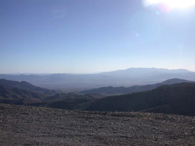
Below: West Mountain Peak, locally known as Utah Hill at 7200 feet, and a very steep road near the top. We easily worked WA6CGR and N6RMJ (1w) on Silver Peak on the East side of the Sierras at 240 miles, W6AT on Keller Peak at 240 miles and KE6HPZ in Huntington Beach at 340 miles and WA6CDR on Signal Hill. Several attempts were made with the Sacramento area with N6JV but conditions prevented this over the Sierras path from working. Mountains in every direction, no coastal ducting here. I'll be back! 1920 total miles driven this year running around. This was the first attempt to work into metropolis Southern California on 10 GHz from Utah and the path is there as predicted. Conditions could have been better. Maybe next year we'll be back with a longer stay earlier in the summer. It looks like hurricane Javier wiped out the guys in Mexico, the cold storm front messed up Northern California propagation and the wind blew everyone off the mountain tops in the middle.......
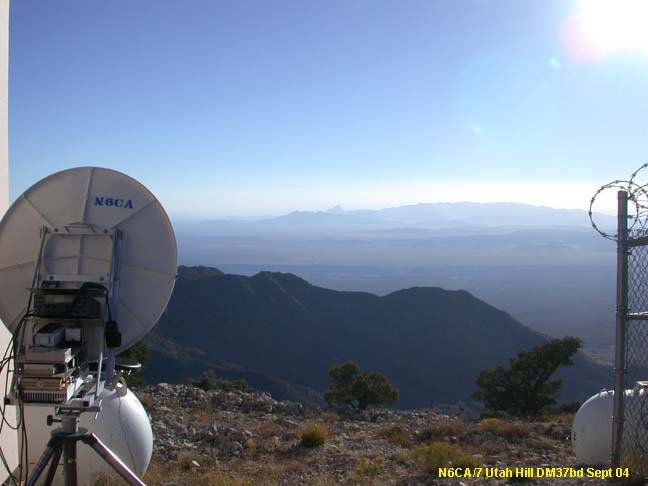 The Southern Calif
shot
The Southern Calif
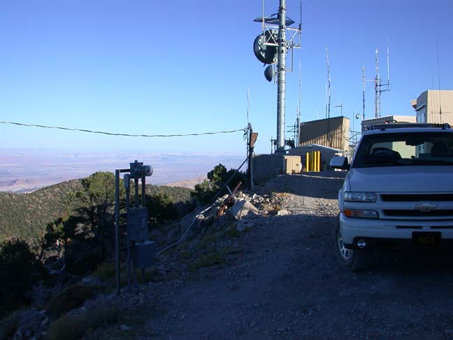
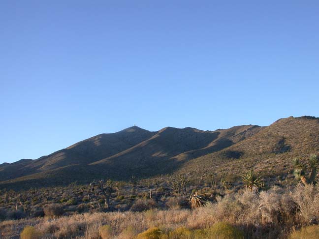
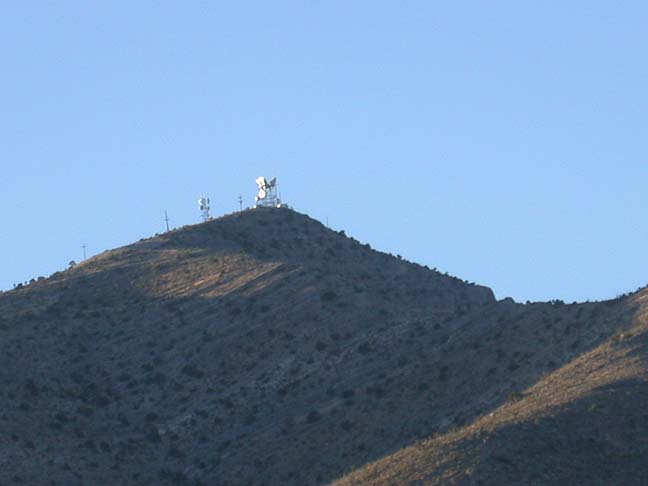
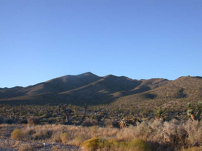
shot 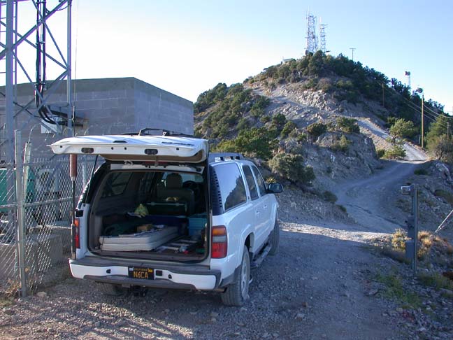 Utah
Hill
Utah
Hill 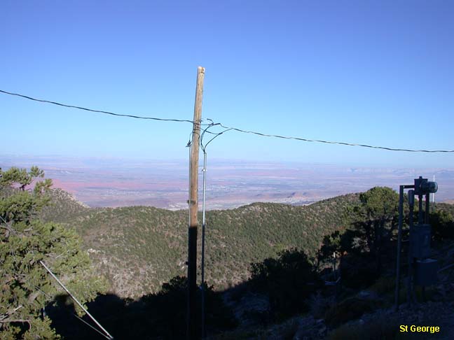 St George, Utah
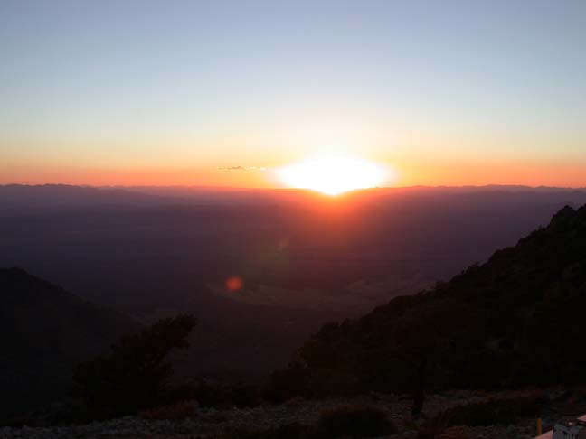
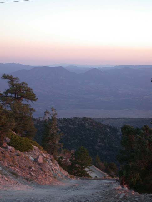
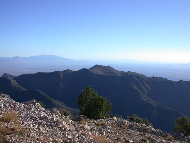 towards
Mesquite and Las Vegas
towards
Mesquite and Las Vegas
 Windy and
attempting to hide behind building
Windy and
attempting to hide behind building
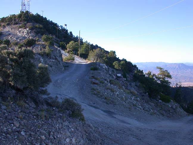
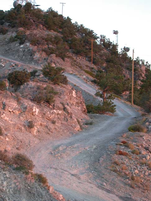 Steep!
 the road coming
up
the road coming
up 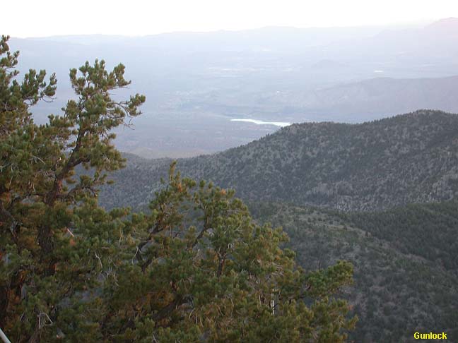 Gunlock Lake to the North
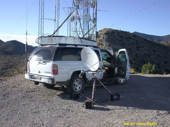
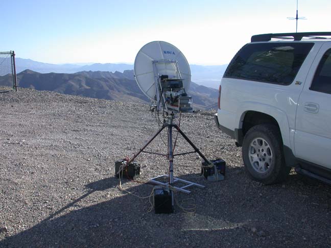
Nevada, Low Potosi, 30 miles SW of Las Vegas. We were able to easily work Southern California as planned and we made the first Nevada to Mexico and 10 GHz working XE2/N6XQ near Ensenada, BC Sur at around 300 miles.
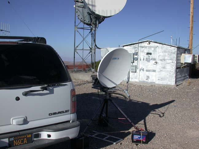
 This is
how you keep your dish from falling over in the wind.
This is
how you keep your dish from falling over in the wind.
 The shot
to Los Angeles
The shot
to Los Angeles  Looking towards Las Vegas
 Views of
Low Potosi approaching from Jean and Goodsprings Nevada.
Views of
Low Potosi approaching from Jean and Goodsprings Nevada.